Map Wall

Map Wall
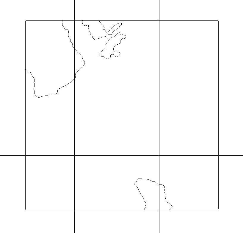
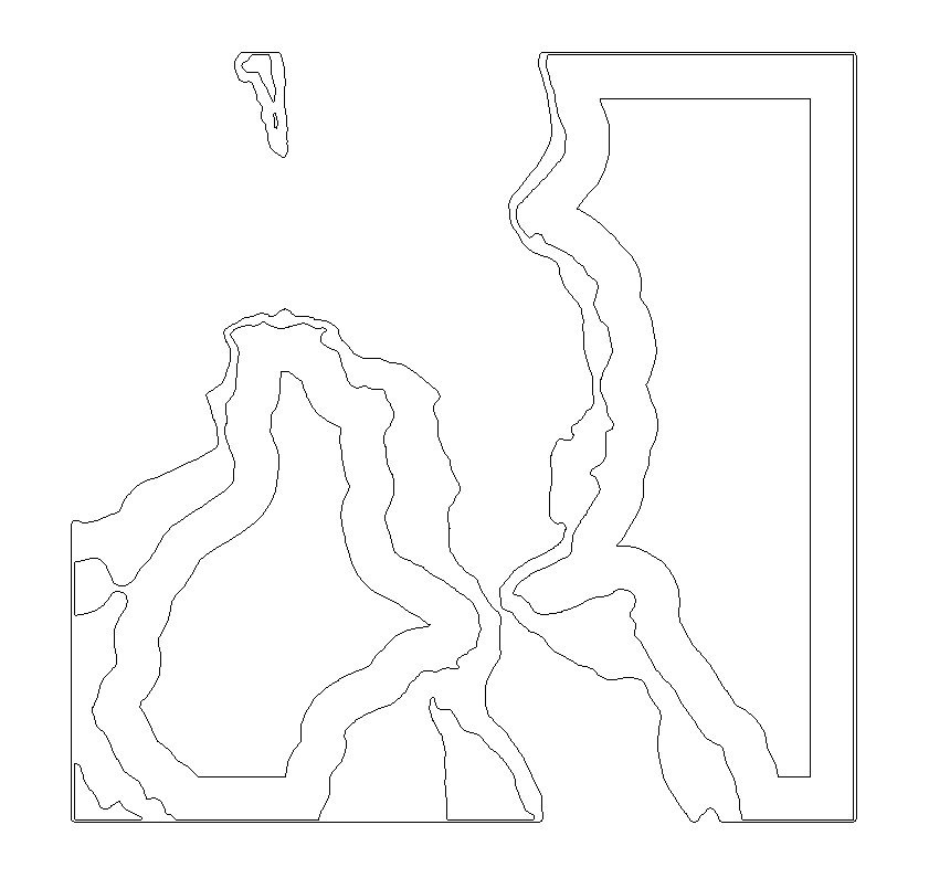
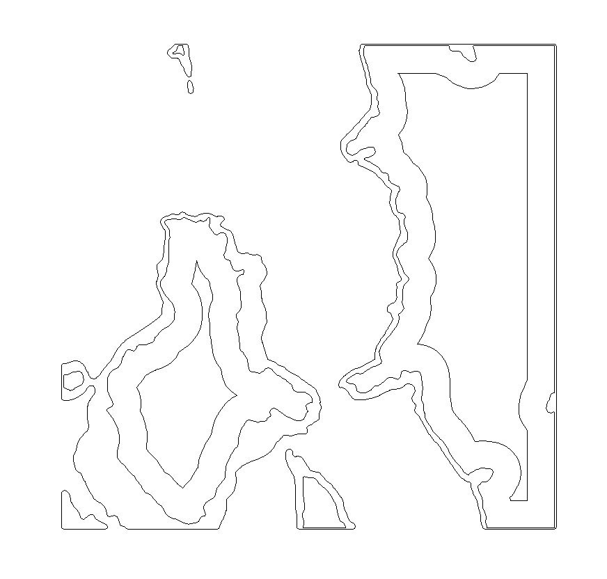
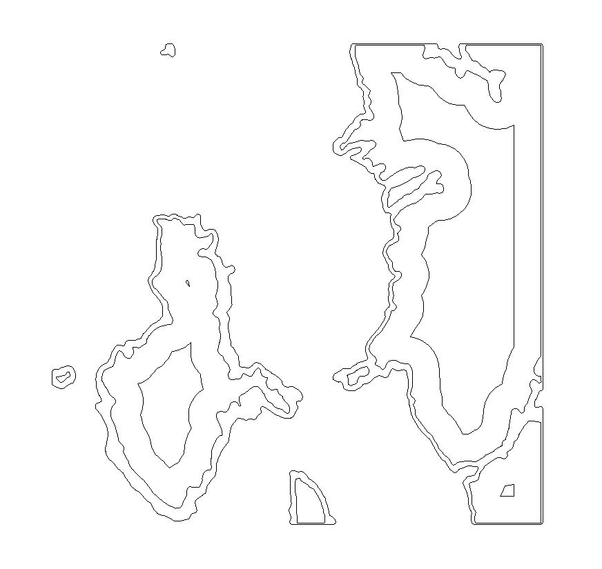
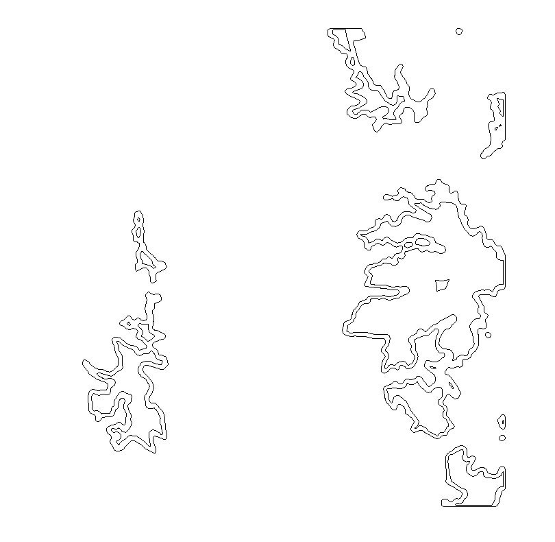
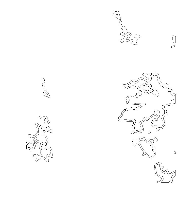
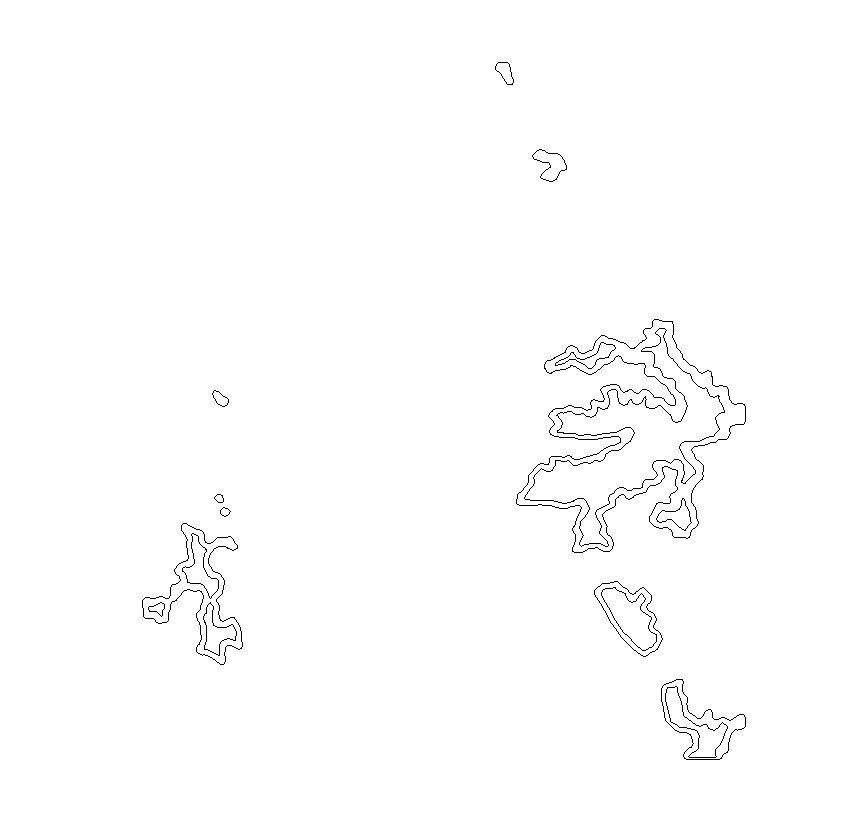
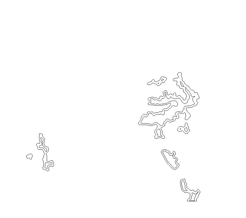
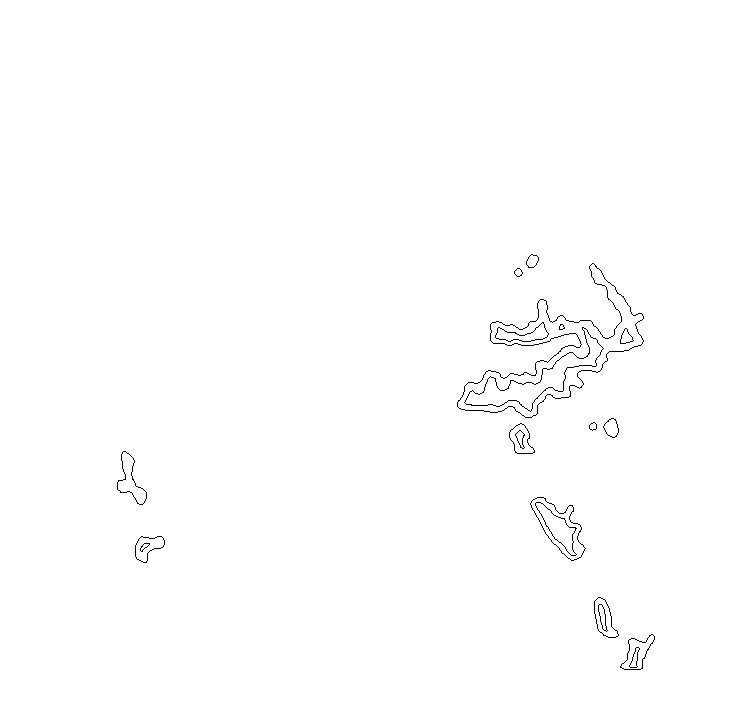
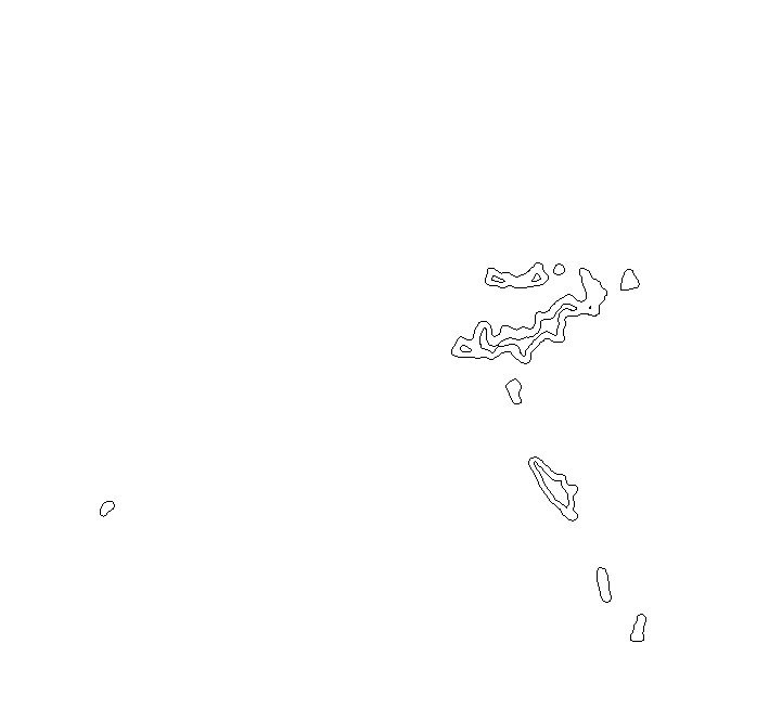
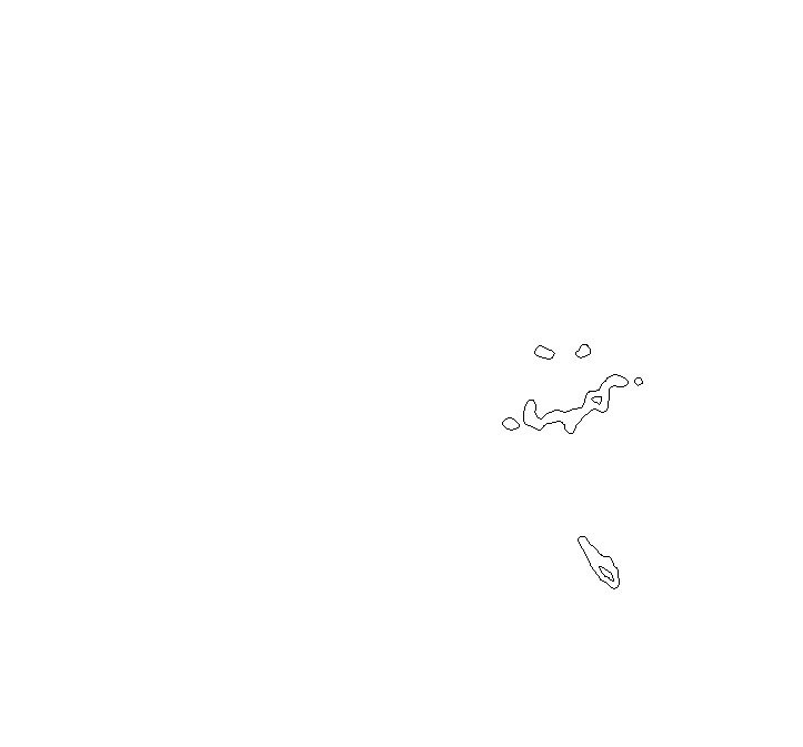
I sourced elevation data from the USGS, brought it into CAD and exaggerated z-axis until it had enough depth to slice into 15 or so half-inch layers. After simplifying the profile for each layer, I inset the profile above it a smidge and applied it as a light registration groove to make it easy to assemble when stacking the layers. I also milled in layer and part numbers to surfaces that would get covered. The profiles are cored out to lighten the overall weight.
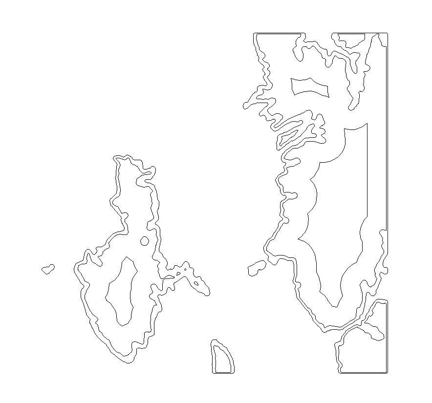
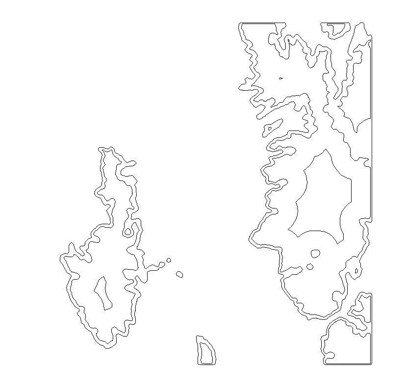
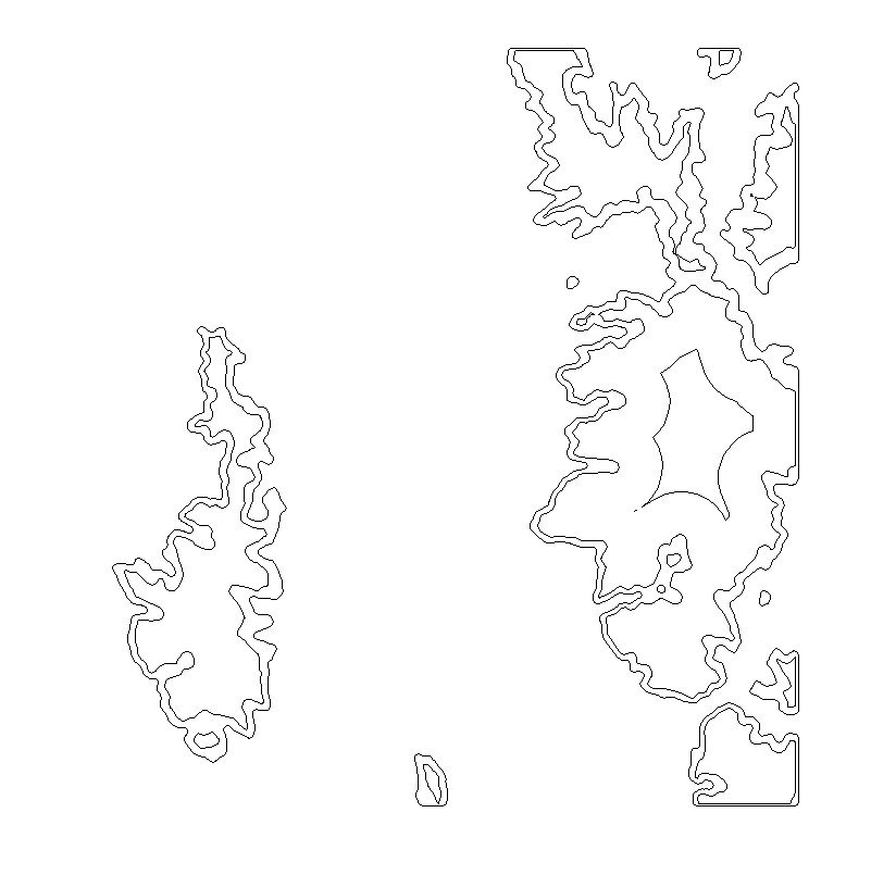
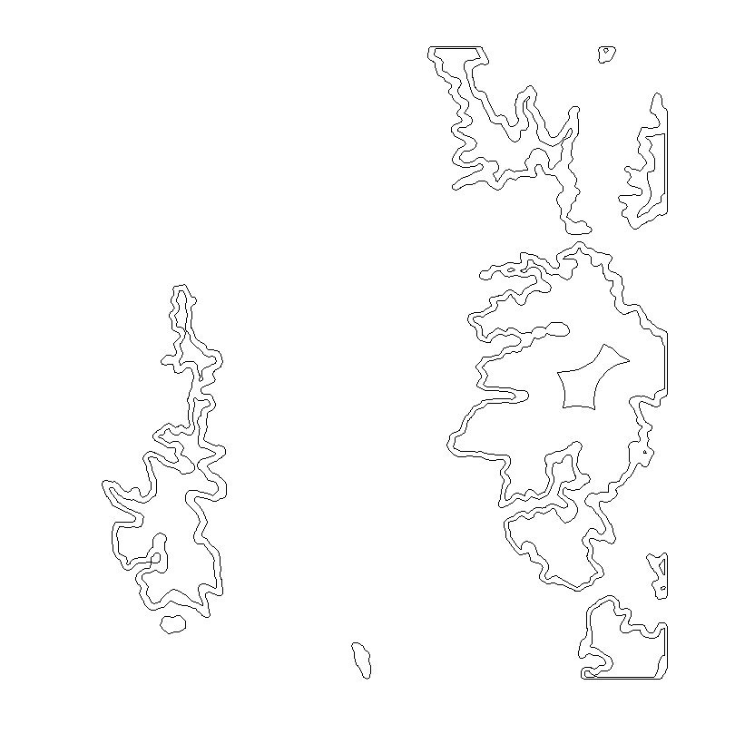


Before milling, each sheet was painted white and covered in contact paper. That way, when the pieces came off the machine they had a protected top white surface with exposed sides that could be sprayed different colors.
For the gray metro area, I pulled in map images and applied lines to major streets and used them to toolpath the grooves. The two-tone effect was achieved similarly to the elevation layers. The dark gray areas are lakes.

